The Road That Wasn't on Any Map: When Getting Lost Was the Whole Point
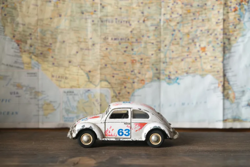
You know the voice. Calm, authoritative, slightly robotic. In four hundred feet, turn right. It has guided you across cities you'd never visited, through highway interchanges that would have baffled a cartographer, into neighborhoods where you had no business finding your way — and yet, there you were, arriving exactly on time, exactly as predicted.
We should be grateful for it. And mostly, we are.
But there's a particular kind of story you can no longer tell. The kind that starts with: We took a wrong turn somewhere outside of Amarillo and ended up—
That story is almost extinct now. And the road trip lost something real when it disappeared.
The Map on the Passenger Seat
Planning a road trip in 1979 — or 1989, or even 1999 — meant sitting down with a Rand McNally road atlas before you left the driveway. The atlas was spiral-bound, slightly oversized, and smelled faintly of old paper and ambition. Each state got its own page. Major highways were thick red lines. Secondary roads were thinner, sometimes dotted, sometimes nameless.
You traced your route with a finger. You argued about it. Someone thought I-70 was faster. Someone else was convinced that cutting south through Missouri saved forty minutes. Nobody actually knew. You made your best guess and went.
Once you were moving, the map lived on the passenger seat — or in the lap of whoever had volunteered to navigate. That person held real responsibility. They watched for exit numbers. They called out landmarks. They said things like I think we should have turned about five miles back with a confidence that was entirely unearned.
And sometimes they were right. And sometimes you ended up somewhere completely unplanned.
The Detour That Became the Destination
Ask anyone who drove seriously before GPS, and they'll give you a version of the same story.
A family heading to the Smoky Mountains takes a wrong exit in Tennessee and stumbles onto a two-lane road through a valley so green and quiet it doesn't seem real. They stop at a diner that has no Yelp page because Yelp doesn't exist yet. The pie is extraordinary. The owner's name is Earl. Earl tells them about a waterfall three miles up the road that most people never find. They find it. It becomes the thing they talk about for thirty years.
None of that happens if a voice in the dashboard had rerouted them back to the interstate before they'd gone a mile.
The detour wasn't a bug in pre-GPS travel. For a lot of people, it was the whole feature.
Asking for Directions Was a Human Transaction
When you got genuinely lost — not slightly off-route, but actually, completely uncertain where you were — you stopped and asked someone.
This sounds simple. It was, in a way. But it was also something more.
You pulled into a gas station in a small town in rural Kentucky. You asked the attendant how to get back to Route 60. He didn't just tell you the turns — he told you about the road. He mentioned that if you went a little out of your way, you'd pass through a town with a covered bridge that was worth seeing. He mentioned that the diner near the bridge had been there since 1954. He mentioned that his cousin owned the place.
In that five-minute exchange, you learned something about where you were that no algorithm has ever been able to replicate. You got a glimpse into a place through the eyes of someone who actually lived there.
GPS gave us precision. It quietly took away those five-minute conversations.
The Efficiency Trade-Off
Modern navigation is, by any rational measure, superior. It accounts for traffic in real time. It recalculates when there's an accident. It finds the fastest gas station, the nearest rest stop, the quickest path around the construction zone you didn't know about. For a business trip, for a tight schedule, for a family with kids who've been in the car for six hours, these things matter enormously.
And safety is real. Getting genuinely lost after dark, in an unfamiliar area, before cell phones — that wasn't always a fun adventure. Sometimes it was just frightening.
But somewhere in the optimization, the road trip changed character.
When every route is pre-calculated and every minute is accounted for, travel becomes a logistics problem to be solved rather than a landscape to be explored. You're not moving through a place — you're moving through a corridor between two coordinates. The territory on either side of the blue line is essentially invisible.
What the Open Road Used to Promise
The American road trip has always carried a specific mythology — the idea that the country is too big and too various to be fully known, and that getting in a car and pointing it somewhere is an act of genuine discovery. Steinbeck had it. Kerouac had it. Even the family station wagon headed to Yellowstone in 1974 had a version of it.
That mythology was sustained, in part, by uncertainty. By the fact that you didn't know exactly what was between here and there. By the possibility that the road might surprise you.
The GPS hasn't killed the road trip. Americans still love to drive. But it has changed the promise. The modern road trip is efficient, predictable, and optimized. It gets you there faster, more reliably, with less frustration.
It just gets you there. Whereas the old road trip, the one with the atlas and the wrong turns and the guy named Earl and the waterfall nobody else knew about — that one got you somewhere you didn't know you were going.
And that was always the better destination.