We Used to Know Where We Were Going: What GPS Took From the American Road Trip
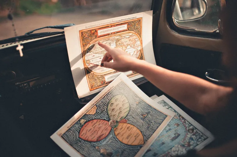
Somewhere in a junk drawer or the back of a closet, there's probably a folded road atlas that nobody has opened in fifteen years. The cover is sun-faded, a few pages are torn at the creases, and someone — maybe your dad, maybe you — drew a highlighter line down Interstate 70 for a trip to Colorado that happened sometime in the late 1990s. That line is still there. The route is still there. The memory of planning it is still there, too, if you think about it hard enough.
That atlas was a tool, but it was also a ritual. Before any long road trip, someone sat down with it. You traced your finger along the route. You noted where you'd stop for gas, where the towns were, roughly how long each stretch would take. You carried the map in your head before you ever turned the key.
Now you type an address and follow a voice. Most Americans under thirty have never navigated any other way.
The Atlas Was a Family Document
The road atlas — Rand McNally published its first auto road atlas in 1924, and by the postwar era it was an American household staple — was more than a navigation tool. It was a shared reference point for understanding the country's physical layout. Kids in the backseat learned to read it out of boredom or necessity. Parents debated alternate routes. Grandparents offered opinions about which highways they'd taken in 1962 and which ones had changed.
Navigating by map required a kind of spatial intelligence that GPS has largely made optional. You had to understand scale. You had to track your position relative to landmarks, mile markers, and the sun. You had to hold a mental model of where you were inside a larger geography — not just what the next turn was, but what direction you were moving in and what was on either side of the road you weren't taking.
When you got lost — and you got lost — you had to reason your way back. You looked for town names on water towers. You stopped at a gas station and asked someone who actually knew the area. You figured it out, which meant you understood where you'd gone wrong.
What the Screen Does Differently
GPS navigation, introduced commercially in the mid-1990s and normalized through the early 2000s, is an extraordinary piece of technology. It knows where you are to within a few feet. It recalculates in real time. It accounts for traffic, construction, and road closures in ways no paper map ever could. It has made driving in unfamiliar cities dramatically less stressful and almost certainly prevented millions of wrong turns, missed exits, and hours of unnecessary frustration.
Nobody is arguing that getting lost on purpose is a superior system.
But what GPS gives you is a sequence of instructions, not a picture of the world. You follow the arrow. You take the exit it tells you to take. You arrive. But if you were dropped somewhere nearby and your phone died, would you know which direction home was? Would you know what town you just passed through? Would you have any sense of how the roads connected?
For a growing number of drivers, the honest answer is no. Studies over the past decade have consistently shown that passive GPS use degrades spatial memory and reduces the brain's engagement with geographic context. We're not building mental maps of places we visit anymore. We're following instructions and forgetting them.
The Road Trip Used to Be an Education
There's a generational dimension here worth sitting with. For American kids who grew up in the 1960s, '70s, and '80s, the family road trip was an accidental geography lesson. You watched the landscape change. You noticed when the Great Plains started flattening out. You saw the Rockies build from a smudge on the horizon into something enormous. You understood, in a physical, embodied way, how big the country actually was — because you'd crossed it slowly, with your eyes open.
Navigating by map made you a participant in the journey. GPS makes you a passenger, even when you're the one driving.
Road trips still happen, of course — in fact, they've seen a genuine resurgence since 2020. But the shared navigation experience has largely disappeared. Nobody passes the atlas to the kid in the back. Nobody argues about whether to take 40 or cut north on 285. The phone handles it, and everyone looks at their own screen.
The Surprising Thing About Getting Lost
Here's what the GPS era has quietly edited out: getting lost used to be part of how you discovered things. The wrong exit that took you through a small town in Tennessee you'd never have stopped in otherwise. The detour that led to a diner someone's been going back to for thirty years. The scenic highway that wasn't on the route but was obviously worth the extra forty minutes.
Algorithms optimize for efficiency. They are very good at getting you somewhere quickly. They are not designed to surprise you, and they rarely do.
Some travelers have started pushing back deliberately — turning off navigation for portions of trips, buying paper maps at visitor centers, taking routes because they look interesting on the map rather than because an app approved them. It's a small rebellion, but it points at something real: the sense that arriving isn't the whole point, and that knowing where you are matters differently than being told where to go.
The atlas in the junk drawer still works. The country is still out there, legible and enormous, waiting to be read. You just have to put the phone down long enough to look.